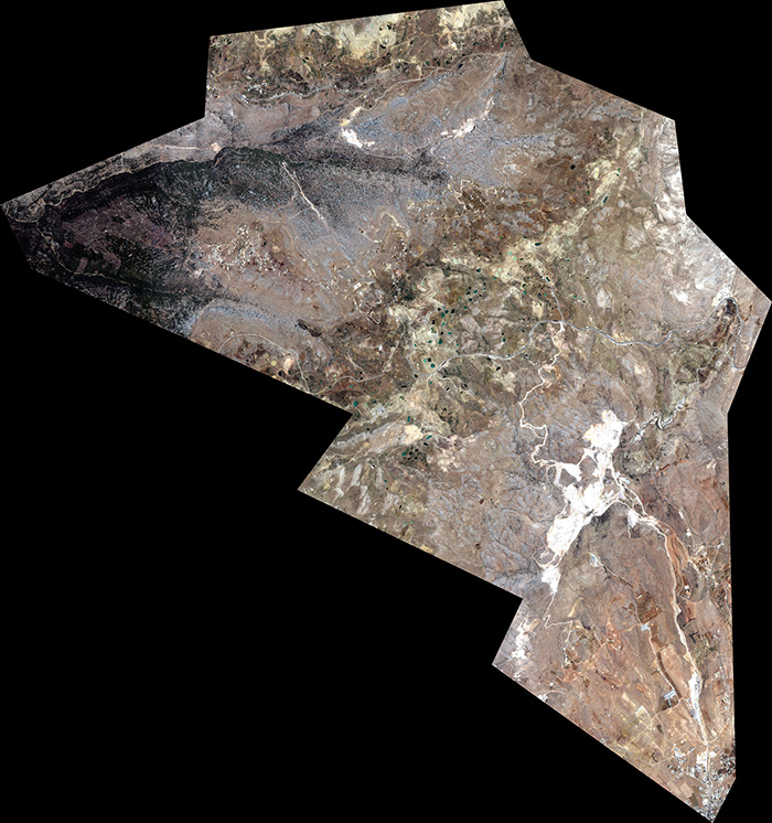

Tarchich holds a strategic position between the districts of North Metn, Baabda and Zahle, and belongs administratively to the Baabda district. The village is 48 km from Beirut, 42 km from Baabda, the district seat, and 15 km from the city of Zahle, which makes it a link between the governorates of the Bekaa and Mount Lebanon.
Tarchich covers 25 million m². It borders Hezzerta and Et Touaiteh to the east, Aintoura el Metn and Majdel Tarchich to the north, Kfarselouan to the south, and the Jaamani river to the west.
Tarchich is the highest village in Mount Lebanon and one of the highest inhabited villages in the country: its altitude ranges from 1,250 m to 1,900 m, and its highest inhabited area lies at 1,750 m.